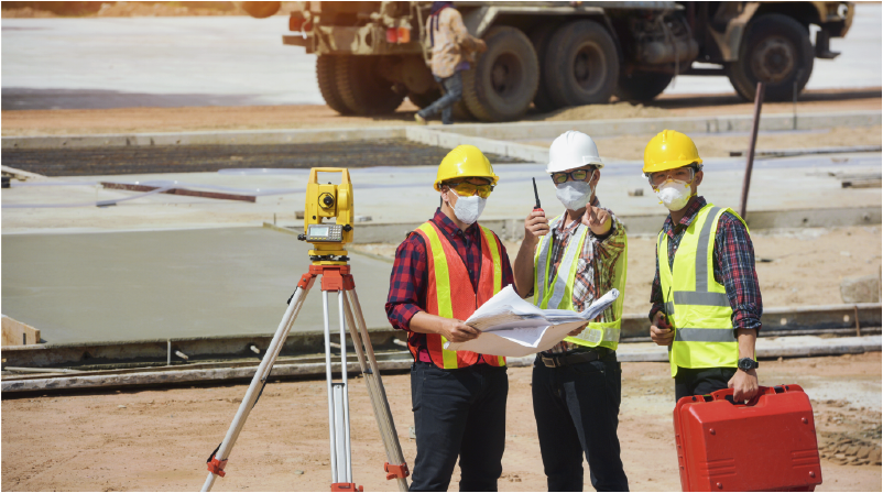
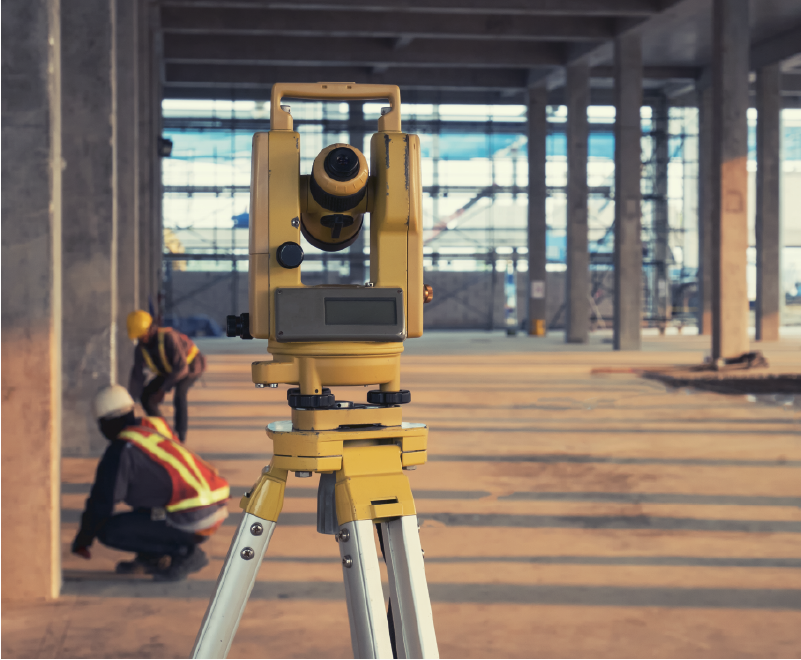
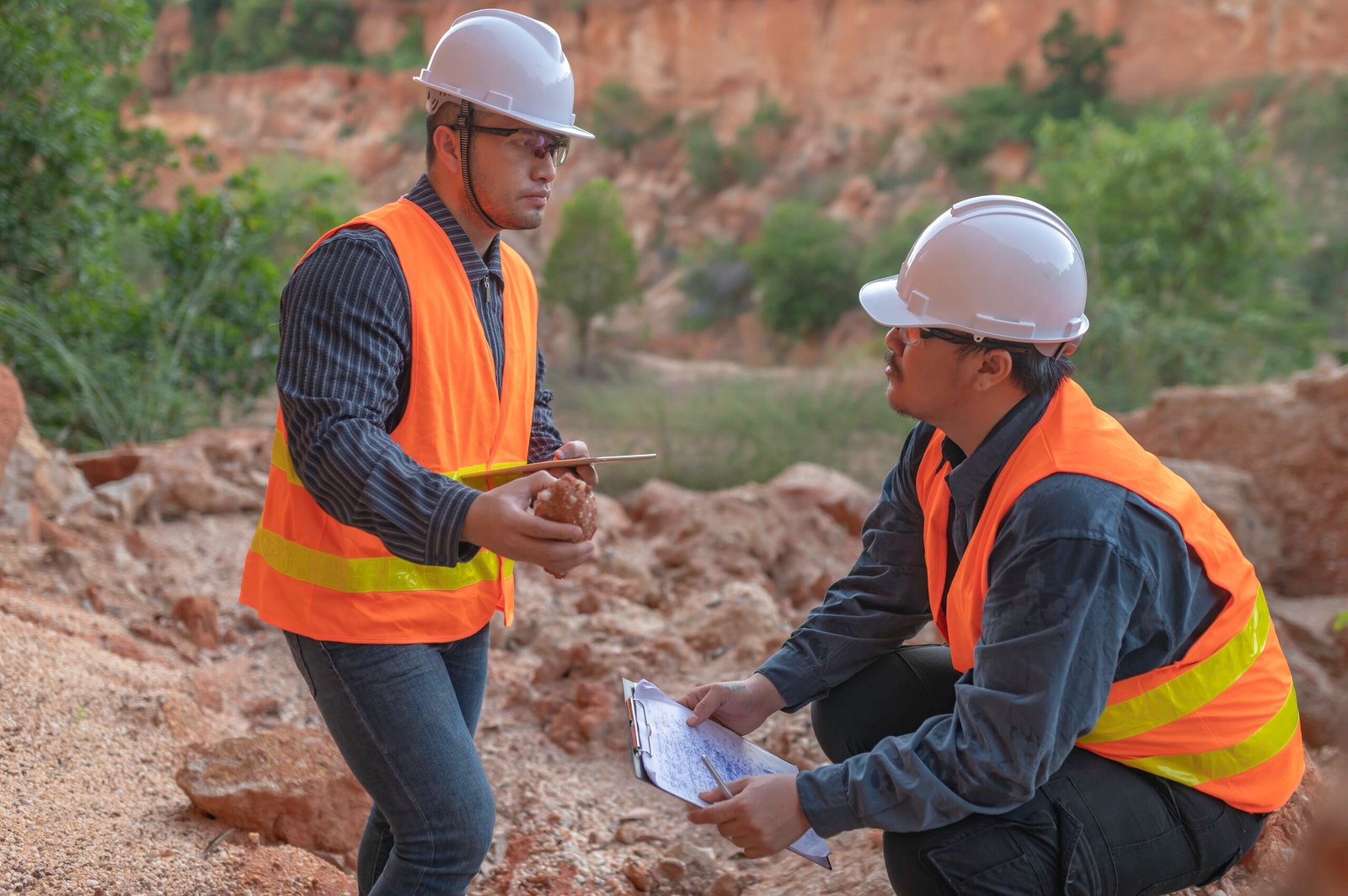
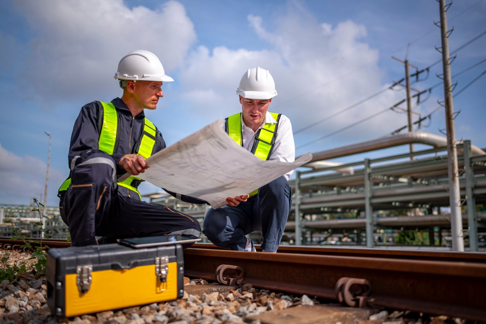
حن شركة مقاولات وهندسة متكاملة نقدم حلولًا شاملة ومبتكرة. فريقنا يضم مهندسين ومعماريين واستشاريين متخصصين. نربط بين الجودة، الجماليات، والالتزام بالميزانية والجدول الزمني. نُدير المشروع من الفكرة حتى التسليم الكامل باحترافية عالية.

Accuracy. Data. Foundations.

Accurate Surveying That Builds Confidence

Surveying is where every reliable project begins. We deliver precise land, topographic, and structural surveys that support smart planning, aligned design, and smooth permitting whether for new builds, renovations, or site expansions.Using modern equipment and CAD-integrated workflows, we produce clean, georeferenced outputs ready for engineering use. Our process reduces errors, prevents site clashes, and accelerates project coordination across disciplines.

  • Topographic & boundary CAD surveys
  • Layout marking & as-built checks
  • Permit-ready site validation

Accurate, project based pricing

Fast response time

Clear scope of work

Tailored to your requirements

No hidden fees

Accurate, project based pricing

Fast response time

Clear scope of work

Tailored to your requirements

No hidden fees

Built on Technical Accuracy

Why Choose Us for Surveying

Our surveying service combines engineering precision with on-site discipline delivering clear, reliable data you can build on.

Our surveyors work alongside civil engineers and CAD specialists, ensuring your data is not just accurate but directly usable for design, planning, and approvals. We understand how survey outputs drive the entire construction lifecycle.

We deploy total stations, GPS systems, laser levels, and drone-based mapping where required — capturing high-resolution spatial data with georeferenced accuracy. This enhances detail, reduces site visits, and eliminates manual errors.

All survey data is processed into clean, layered CAD files and BIM-compatible formats. This enables seamless collaboration with architects, structural engineers, and permitting authorities — saving time and aligning your teams from day one.

We provide topographic, boundary, construction layout, and as-built surveys — tailored to each project’s technical, legal, and operational needs. Every deliverable is issued with formal documentation and geo-data verification.

Our surveying team has delivered across residential plots, commercial zones, industrial sites, and infrastructure corridors. We know how to scale services based on site complexity, urban constraints, or phased development timelines.

We commit to timely delivery with structured field reporting, thoroughly error-checked data, and coordinated team communication. This keeps your design schedule on track and ensures smooth handover to engineers and consultants.

Field Accuracy, Captured Visually

On Site Surveying in Practice

Get a closer look at our surveying operations in real-world settings from equipment deployment to layout marking and terrain assessment. 

Step

Submit Your Request

Provide basic project details including site location, type of survey needed, and any timeline requirements. This helps us define scope and prepare a tailored quote.
01
Step

Scope & Schedule Approval

We share a clear proposal with pricing, timeline, and scope. Once approved, we coordinate the site visit based on your availability and site conditions.
02
Step

Site Execution

Our surveyors conduct the fieldwork using total stations, GPS, or drone tools as needed. All work is carried out under safety and quality control protocols.
03
Step

Deliverables Issued

Final CAD drawings, reports, and documentation are delivered in your required format — ready for design, permitting, or contractor handover.
04
Clarity Before You Commit

Frequently Asked Questions

We provide a full range of land and structural surveying services, including topographic surveys (for terrain mapping and elevation data), boundary surveys (for defining legal property lines), construction layout surveys (for setting out structures on site), and as-built surveys (for recording completed works). Each service is tailored based on project type, site conditions, and technical requirements.

Our teams use professional-grade total stations, GPS/GNSS systems, laser levels, and drones (where applicable) to achieve precise measurements. All data is cross-verified, geo-referenced, and processed through CAD and GIS platforms. The final deliverables are accurate to engineering-grade standards, suitable for design development, regulatory submission, and on-site execution.

In most cases, no. Our team can carry out the full survey independently as long as site access is arranged in advance. However, if property boundaries are unclear, physical markers need review, or restricted zones exist, we may request your presence or a site representative to assist with clarification and access.

We typically provide CAD files (DWG or DXF), PDFs for print/reference, and any required technical reports or coordinate listings. For clients working in BIM or GIS environments, we can supply compatible formats and data sets. All deliverables are clearly structured, layered, and ready for direct use in design, planning, or contractor coordination.

The timeframe depends on the site size, terrain complexity, and type of survey required. A basic residential plot may take 1–2 working days, while commercial sites or phased developments could take several days. We provide an estimated schedule after reviewing your request and confirm timing prior to mobilisation.

Yes — all our surveys follow local authority standards and documentation requirements. Whether you’re applying for planning permission, subdivision, or construction approvals, our deliverables are structured to meet submission criteria, reduce review cycles, and streamline communication with architects, engineers, and regulatory bodies.